


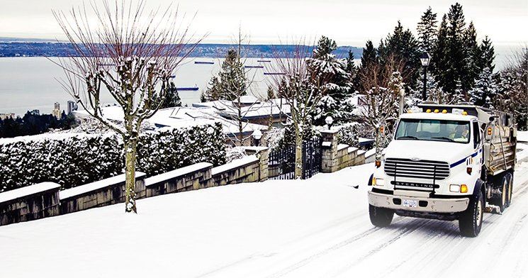
More snow is on its way for North Shore. A series of disturbances are set to bring more snow to the south coast this week.
The second weather system will reach the south coast Tuesday evening and affect a more widespread area than the first.
Snow is expected for much of the night, says Environment Canada.
Mainland arctic outflow winds reaching the eastern coast of Vancouver Island will create the potential for increased snowfall amounts locally, according to a weather alert issued by Environment Canada.
Meanwhile, outflow winds through mainland coastal inlets and valleys will continue to drive cold arctic air into the Georgia Basin through much of the week.
Tonight, northwesterly winds are expected to develop over the Strait of Georgia overnight and heavier snow areas are liley to developer as these winds converge.
Localized areas from Nanaimo to Qualicum Beach, southern Texada Island, and Half Moon Bay to Sechelt could be affected overnight and on Tuesday.
A third system is on the horizon for Thursday night and a fair degree of uncertainty exists regarding its impact upon the south coast.
The mainland coast may suffer a glancing blow however Vancouver Island may see a considerable amount of snow as outflow winds increase with the passage of this system.


