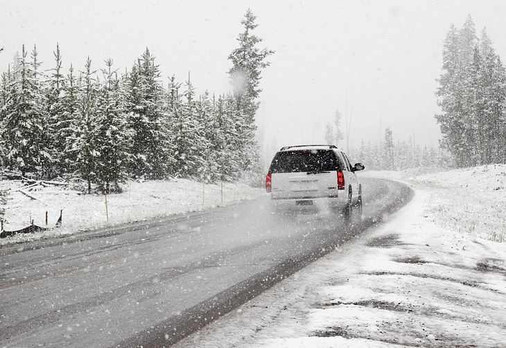
With the shift into cooler weather, snow is looking likely over the BC South Coast in the coming week, says a forecast by Environment Canada.
While there may be a few light flurries mixed with rain tonight, the first real opportunity for widespread low elevation snow is shaping up to be Thursday night.
A low tracking south along the BC coast will spread moisture across the BC South Coast beginning Thursday evening. With temperatures hovering near the freezing mark, a mix of rain or snow is possible across the region.
As is frequently the case, snowfall amounts will vary across the region. Current estimates are that the Fraser Valley, and higher elevations of Metro Vancouver and Vancouver Island have the potential for snowfall accumulations to exceed 5 cm Thursday night.
The snow is expected to change back to rain Friday morning. However, with temperatures remaining below seasonal normals into next week, the chance of more snow remains.

